

Products
|
|
Indits Liberals |
|
|
Indits Invent |
Ind Infotech Services
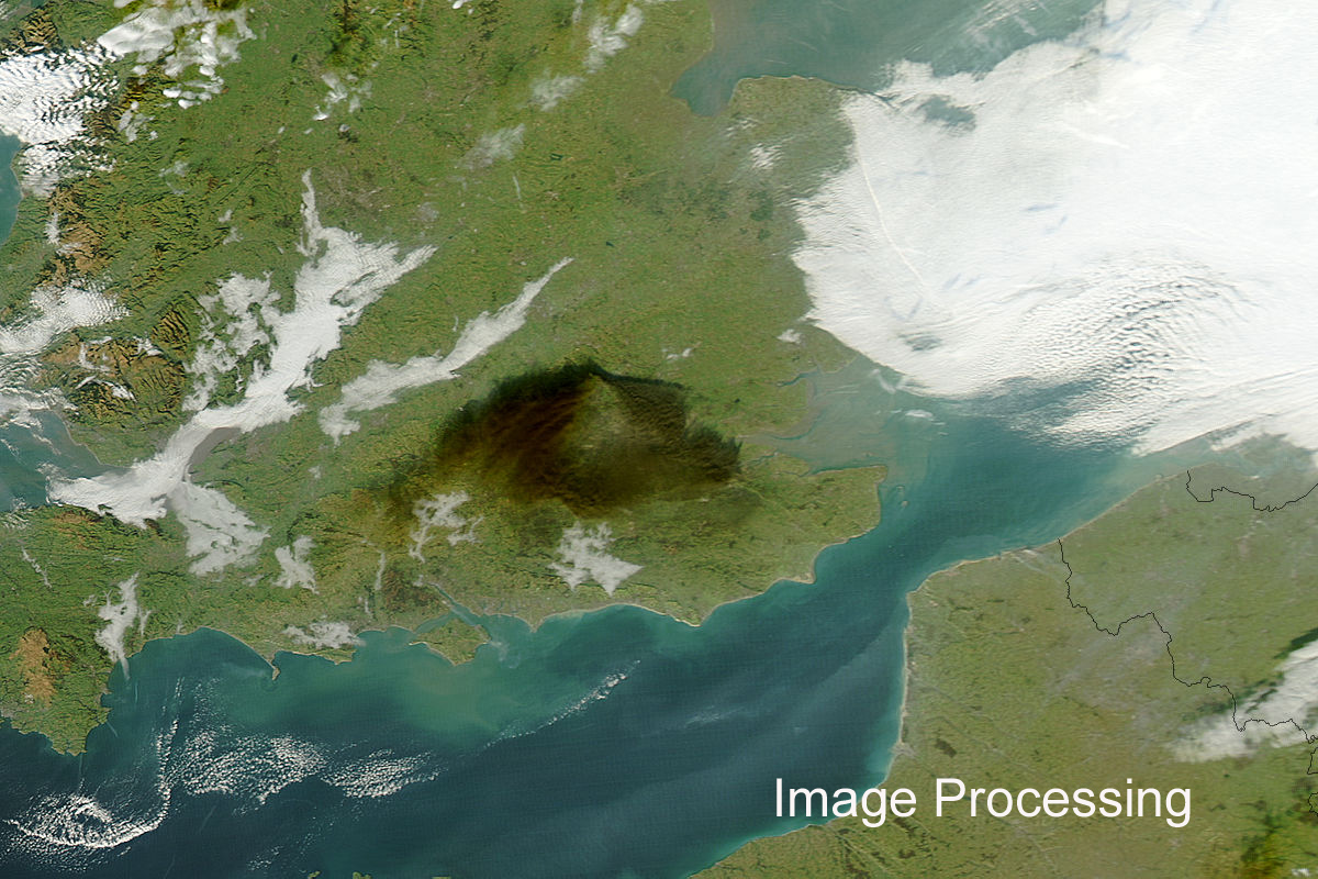
Programming, Image processing.Feature extraction from satellite imagery, Landuse. Land cover, contour, resource mapping , Photogramatry, AM/FM applications ,etc. almost every thing in mapping. Indits is situated at the city Nagpur geographic center of India.

Services
 |
GIS Development |
 |
Web and software Development |
 |
Geo spatial applications |